GB 249 T-GED/22/1/528/2
·
Piece
Parte de British Isles: Scotland: Individual Towns, Cities, Regions etc.
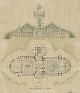
On the reverse, pencil sketch of site plan of unidentified buildings.